
By James Hernandez | July 30, 2026 | Image Courtesy of Pexels.com
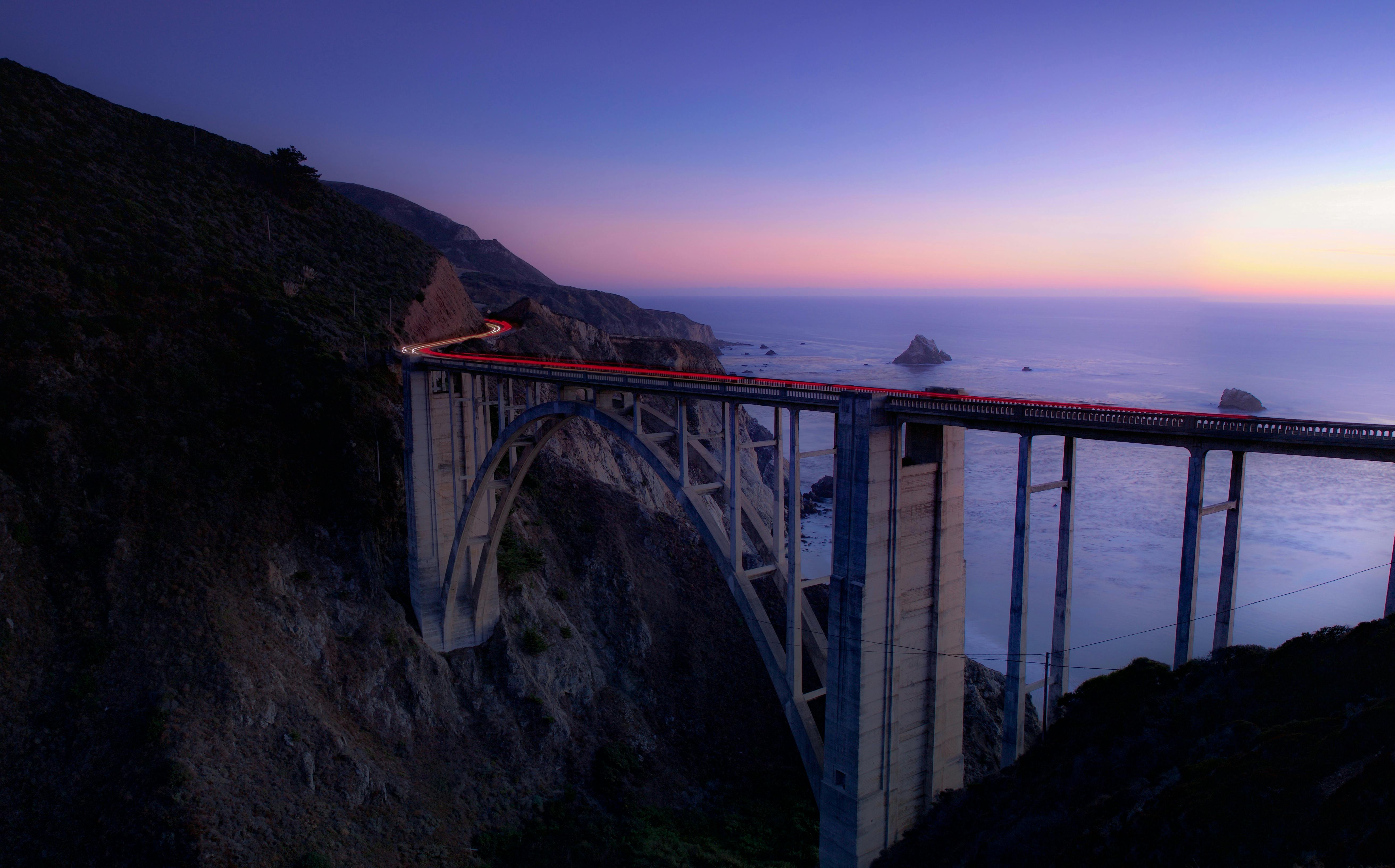
California’s Highway 1 is one of the most beautiful roads in the world. It hugs the cliffs of Big Sur, winding between mountains and the Pacific Ocean. Every year, millions of people drive through this road without giving it much thought on what it takes to keep this road open.
But, the engineers do.
For them, Highway 1 is one of the most difficult infrastructure projects in America. In April 2024, another section of Highway 1 gave way after heavy storms triggered a landslide near Big Sur. The pavement collapsed, the road was closed indefinitely, and thousands of residents, businesses, and travelers were cut off. It wasn’t the first time that this had happened, and it almost certainly won’t be the last. Along this stretch of California’s coast, landslides, rockfalls, wildfires, and atmospheric rivers have become part of the job. Every year is a race against the next storm.
The fundamental challenge of Highway 1 comes down to uncertainty. After every major storm, engineers and construction teams face a series of questions that cannot be answered by looking at yesterday’s damage alone. Is the slope still moving? Will another round of rain undo today’s repairs? Is there a safe window to mobilize heavy equipment? Can crews work tomorrow, or will high winds and an unstable ground force another delay?
For decades now, the construction industry has relied on weather forecasts to help answer these questions. But a forecast and a decision are not the same thing. A weather app might predict an 80% chance of rain or wind gusts reaching 35 MPH. While those numbers are useful, they still leave project managers asking, “what does that mean for my job site?” Research published by the American Society of Civil Engineers (ASCE) has shown that weather-related delays can be modeled and incorporated into project planning, rather than treating them as unavoidable disruptions.
Imagine if the Highway 1 repair teams had access to a system that continuously monitored localized weather conditions around the repair site and alerted them when a six-hour window of stable weather was likely to occur. Crews could prioritize slope stabilization before rainfall returned. Equipment deliveries could be timed around expected wind conditions. Even small improvements in planning can have significant effects when every hour of road closure affects nearby communities, tourism, freight movement, and emergency access.
That kind of visibility is what Benchmark Labs weather intelligence is built to provide, not for Highway 1 specifically, but for any crew facing the same kind of uncertainty. It provides hyper-local weather intelligence that helps organizations understand how changing weather conditions may affect their operations. By combining high-resolution weather modeling with AI, our platform can provide location-specific insights that support decisions around crew scheduling, equipment deployment, and weather-sensitive work.
This approach reflects a broader shift that is happening across the infrastructure sector. According to the National Oceanic and Atmospheric Administration (NOAA), weather affects nearly every phase of construction, from scheduling and worker safety to material performance and equipment operations. In fact, better use of weather information can improve planning and reduce costly disruptions.
But, at the end of the day, no technology can stop the rain or prevent every slope failure. However, if construction teams can better anticipate how weather will affect their project, and adjust their plans before those conditions become unsafe or unproductive, then they may spend less time reacting to the weather and more time building through it.